Products
Featured
Explore
Showcase
Contact
Explore
Showcase
Contact
Sign in
Sign up
agtech.world
Discover the world's top agtech solutions.
Sign-up for free
to explore hundreds of agtech solution from all over the world.
Search
Filters
All
Farm Management
Finance
Irrigation
Livestock
Mapping
Natural Capital
Pests & Diseases
Precision Farming
Regenerative Ag
Robotics
Sensors
Supply Chain
Weather
Sort
Alphabetical
Latest
Mapping (75)
Adatos AI
Adatos Pte Ltd
Autonomous AI and Remote Sensing technology for measuring and analysing farmlands and ecosystems to account for every tree, crop and carbon credit.
Advanced Soil Moisture Analytics
EOS Data Analytics Inc
Advanced Soil Moisture Analytics Solution
aerialPLOT
aerial PLOT
Elevate Your Field Research. At aerialPLOT, we are bridging the gap between agtech innovation and farm success.
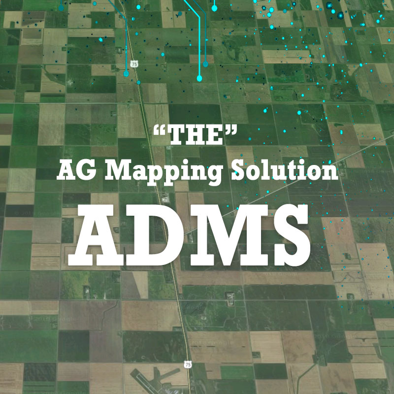
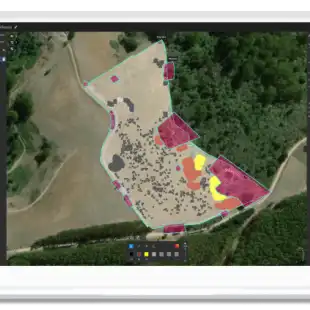
Ag Data Mapping Solution
GK Technology Inc.
The Ultimate Ag Data Mapping Solution
Agremo Crop Monitoring
Agremo
All in one platform for stitching, analyses, reporting and prescription maps.
Agremo Field Trials
Agremo
Tool for better understanding research plots.
Agremo Precision Farming Tools
Agremo
Ag tools for all season long.
Agri
Kermap
Satellite for sustainable farming. Field monitoring at any scale
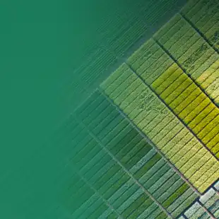
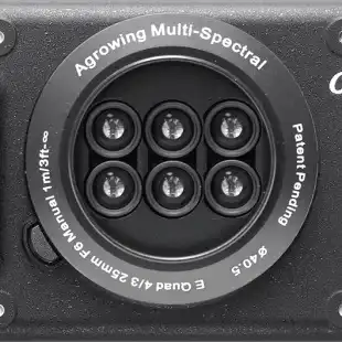
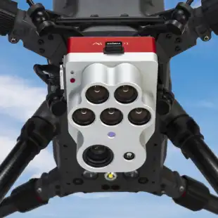
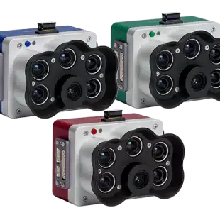
Agrowing Multi-spectral Cameras
Agrowing Ltd.
AI-enabling multispectral technologies
AgTwin
Agronomeye
Your farm is more than meets the eye.
Altum-PT
AgEagle Aerial Systems Inc
Optimized 3-in-1 solution for advanced remote sensing and agricultural research.
Cibolabs Farm Reports
Cibolabs Pty Ltd
Access ~30 years of satellite imagery and generate reports on trends in land condition indicators - monthly rainfall, seasonal ground cover, annual tree cover change and forest carbon.
constellr - LST
Constellr GmbH
Measuring water, temperature & carbon from space for better resource accountability.
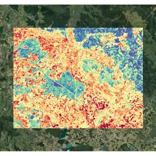
Crop Monitoring
EOS Data Analytics Inc
Empowering agricultural businesses with remote farm monitoring
Crop Type Classification
EOS Data Analytics Inc
Crop Type Classification Using Remote Sensing
Crop Yield Prediction
EOS Data Analytics Inc
Crop yield estimation using remote sensing and machine learning models.
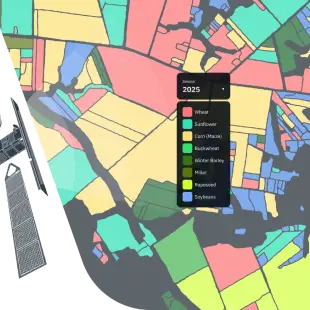
CropMap
Doktar
CropMap transforms agricultural data into actionable market insights by detecting field boundaries and crop types.
Cropwise IMAGERY
Syngenta
A bird’s eye view of the farm
DigiFarm
DigiFarm
Real-time Data for Digital Farming Solutions
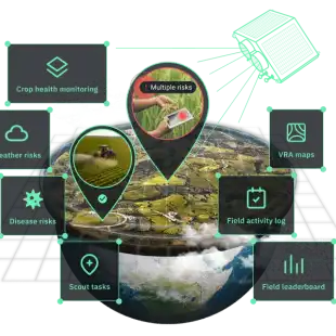
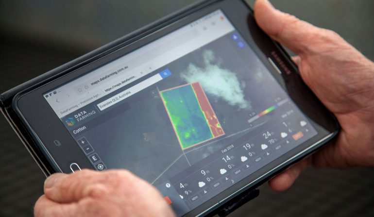
Digital Agronomist
DataFarming Pty Ltd
We’re working to put farmers and agronomists in control.
Digital Soil Map
LandScan LLC
Enabling next-level precision irrigation.
Dragonette Hyperspectral Imaging
Wyvern
Empower your business with the most insight-rich geospatial imagery data currently available.
DroneDeploy
DroneDeploy
The only drone mapping software you’ll ever need.
EarthTones
Esper Satellite Imagery
EarthTones is Esper’s flagship product aiming to deliver real time site specific hyperspectral imagery data to support industry leaders.
eBee X
AgEagle Aerial Systems Inc
Lightweight mapping drone for large coverage and sharp data.
EOSDA Forest Monitoring
EOS Data Analytics Inc
Forest Monitoring Using Remote Sensing: Solution By EOSDA
Fallow Fields Monitor
6th Grain
6th Grain’s Fallow Field Monitor tracks weed growth in user Fallow Fields.
Farm Registration
6th Grain
Farm Registration Collection & Farmer Registry
Farmforce Orbit (GMS)
Farmforce AS
Monitor your sourcing operations at scale
FarmLab
Farm Lab
Your Portal to Environmental Data.
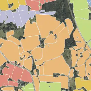
Field Boundary Detection
EOS Data Analytics Inc
Automatic Field Boundary Detection Using Neural Networks
Field Intelligence
LandScan LLC
Go beyond NDVI with our calibrated vegetation indices.
FieldFocus
6th Grain
FieldFocus is 6th Grain’s modular crop health and yield management platform.
FieldFocus Light
6th Grain
FieldFocus Light is 6th Grain’s lightweight field digitizing and record keeping mobile application.
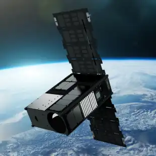
Firefly
Pixxel
Firefly is Pixxel’s flagship hyperspectral imaging satellite constellation, featuring six of the highest-resolution commercial hyperspectral satellites to date.
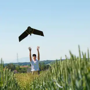
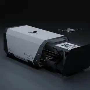
FlytMini
Airscort Ltd.
Fully autonomous drone
GeoPard
FlyPard Analytics GmbH.
Simplify the complexity of precision farming
Grapes
6th Grain
Enhancing Vineyard Performance with Data & Technology
GreenoSoil Enterprise
GreenoSoil
Harness the Future of Field Data: Remotely & Farmer Provided
GroundOwl
EarthOptics
Measure soil compaction with this contactless sensor technology.
Growstac
Upaj
Reimagining new frontiers of precision agriculture. Farm-level data and insights for enterprises and farmers to enable data-driven decisions in agriculture
Harvest Dynamics Monitoring
EOS Data Analytics Inc
Remote Harvest Dynamics Monitoring
Hyperplan
Hyperplan
Secure sustainable growth with timely and reliable insights on agricultural production.
Instacrops
Instacrops Inc
Instacrops is a virtual crop advisor that, through an artificial intelligence-based application, detects irrigation, nutrient, pest, and disease issues, enabling real-time monitoring of fields.
Know Your Environment
The Agricultural Risk Company Pty Ltd
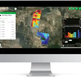
Agtuary’s Know Your Environment (KYE) services enables you to map, measure, monitor & report on sustainability, GHGs & climate risks for land & natural assets
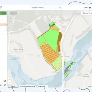
Land App
DigitalLandSolutions Ltd
Design a Sustainable Planet, Together. Collaborative, Intuitive Mapping for the Land Sector.
Lense AI
Farmevo
Driving Agriculture Forward with Leaf Level Precision
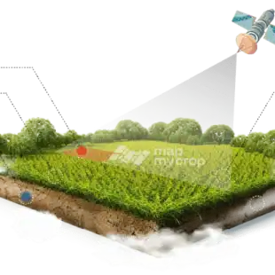
Map My Crop
Hardcastle Agrotech Solutions Inc
Explore the World's First MaaS based 360° Imagery Agro Suite by Map My Crop
Natural Capital Accounting
SarVision B.V.
SarVision produces wall–to-wall maps of ecosystem capital and elaborate natural capital accounts.
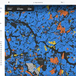
OneSoil Global Analytics
OneSoil AG
Get Agricultural Data on Any Region
OneSoil Yield
OneSoil AG
Increase yields with precision agriculture today!
PInCER
RMSI Cropalytics
A Comprehensive Agri-Data Stack With A Map Of Standing Crop
PIX4Dfields
Pix4D
Hybrid drone and satellite mapping software for aerial crop analysis and precision agriculture. Saving time, money, and agricultural inputs has never been easier.
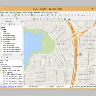
QGIS
QGIS.ORG
A Free and Open Source Geographic Information System. Create, edit, visualise, analyse and publish geospatial information on Windows, macOS, Linux, BSD and mobile devices.
RedEdge-P
AgEagle Aerial Systems Inc
High-resolution multispectral and RGB sensor
Regional Market Intelligence
6th Grain
6th Grain’s Regional Market Intelligence is operational, easy-to-use, and ready to fulfil your crop mapping needs.
Runoff & Leaching
6th Grain
6th Grain’s Runoff & Leaching Tool helps identify and engage with users who have erosion problems.
SarAgri
SarVision B.V.
SarAgri system enables monitoring crop growth, crop extent, crop height and harvest forecast.
SarCarbon
SarVision B.V.
Large scale biomass and carbon mapping.
Satamap Global
PCT Agcloud Pty Ltd
Satamap Global is web based platform for viewing and analysing satellite imagery available anywhere in the world.
Contact us
X / Twitter
LinkedIn
Copyright ©2024 — Agtech.World
Privacy Policy
Terms of Use
Cookies Policy