Satamap Global
Satamap Global is web based platform for viewing and analysing satellite imagery available anywhere in the world.
(0)
Below are just some of the features in Satamap Global. We are constantly adding more features so check back regularly to see what has been added.
- SATELLITE IMAGERY SOURCES
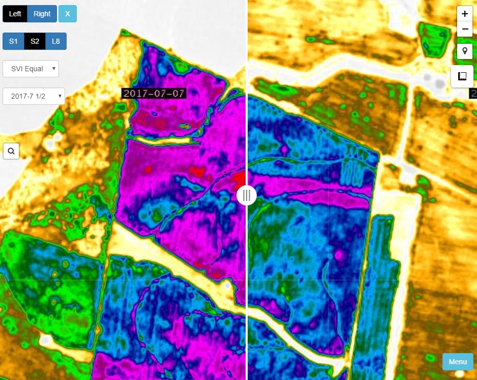
We source our imagery from several satellites including Landsat 8, Sentinel 2 and coming on soon new data from Sentinel 3, MODIS and archived data from the old Landsat missions. This gives a combined revisit time of less than 7 days for the imagery with a spatial resolution of 15m or less - COMPARISON SLIDER
Directly compare difference dates or layer types or a mixture of both. This allows for comparing difference in change over time. - AREA AND DISTANCE MEASUREMENT
Easily measure areas and distances. - LOCATE BY SEARCH OR MAP PAN
Overlaid on imagery is an up to date road network derived from Open Street Map. Locations can be searched or you can pan around as you would in other familiar mapping apps. - SATAMAP VEGETATION INDEX
Similar to NDVI, the Satamap Vegetation Index (SVI) exposes variability in vegetation by exploiting the difference in reflectance in the red and near infrared bands. SVI also uses the green band to help mitigate the effects of soil colour. We offer three colour scales to represent the information: Equal, Low and High. SVI Equal distributes SVI values evenly across the colour scale, whereas SVI Low gives bias to low biomass crops and SVI High bias to high biomass crops. This allows maximum information to be extracted from the imagery. - IMAGERY ARCHIVE
All imagery captured since each satellite's commissioning is available for view. Landsat 8 goes back to 2013. We will soon be adding older imagery back to the 90s. - EXPORT
Export areas up to 100,000 ha. We generate an export link so you can either download it directly to your PC/device or use the link to import into an offline mapping app such as Avenza Maps*. We also offer a CSV point export which makes for easy import into Farmworks or SMS.
*Make sure you read Avenza licencing terms - you will require a Pro Subscription if not for private use. - PCT INTEGRATION
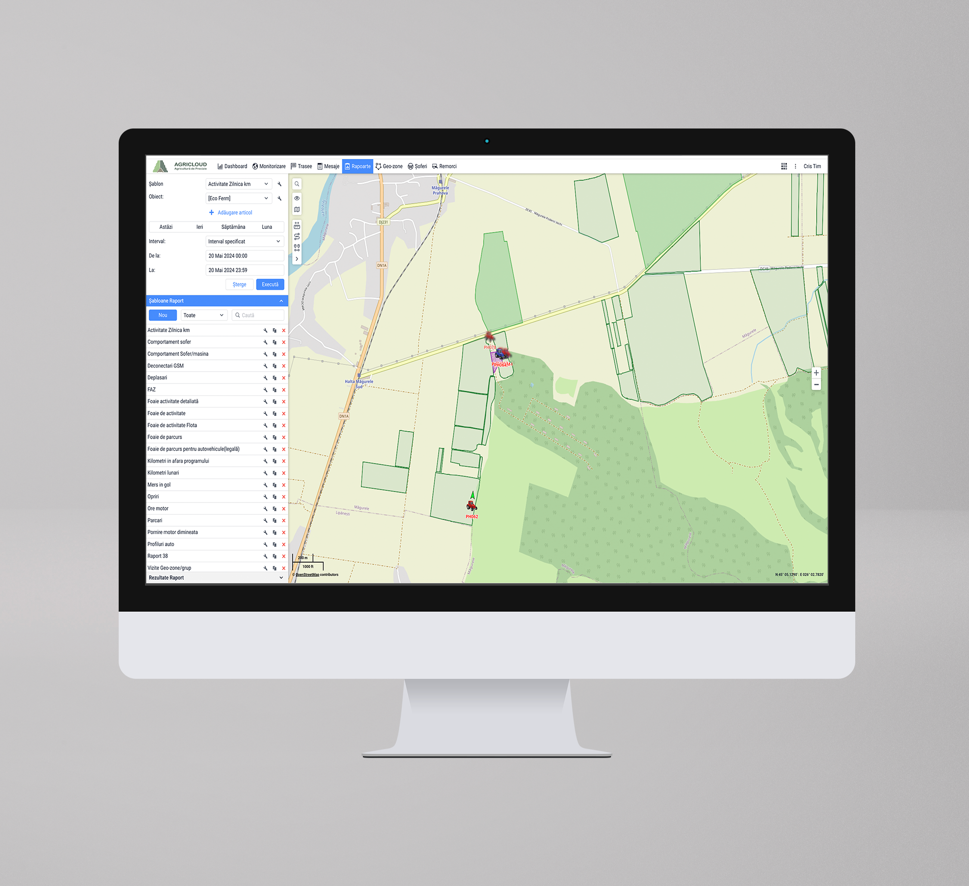
Access to Satamap imagery in PCT AgCloud and AgMap iPad app. Importing Satamap imagery into the PCT platform allows you to view data scaled across individual paddocks and generate variable rate maps, plus more. There is a $100 setup fee per grower and this is separate organisation that we have partnered with.
Sign up to leave a review and join our community to discover and share agtech products
