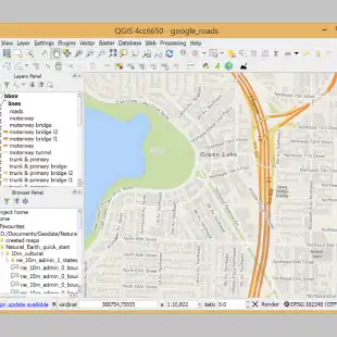
QGIS - The Leading Open Source Desktop GIS
QGIS is a professional GIS application that is built on top of and proud to be itself Free and Open Source Software (FOSS).
QGIS is a user friendly Open Source Geographic Information System (GIS) licensed under the GNU General Public License. QGIS is an official project of the Open Source Geospatial Foundation (OSGeo). It runs on Linux, Unix, Mac OSX, Windows and Android and supports numerous vector, raster, and database formats and functionalities.
QGIS offers a wealth of GIS functions, provided by core features and plugins. The locator bar makes it easy to search for functions, datasets and more.
- View data
- Explore data and compose maps
- Create, edit, manage and export data
- Analyze data
- Publish maps on the internet
- Extend QGIS functionality through plugins
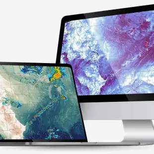
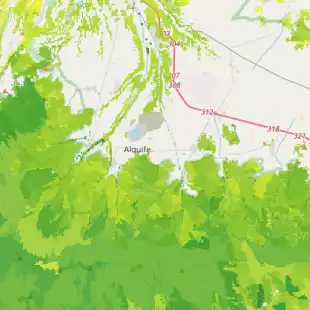
Gallery
Reviews
Free and comprehensive GIS tool if you want to work with geospatial data
Okay not exactly an agtech product, but if you are looking for a free tool to open geospatial file and create layers, etc this is pretty good tool. I gave it 4 starts, as you need to install it on your PC, would give it 5 stars if there was a web based one.