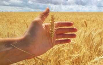
agtech.world
Discover the world's top agtech solutions.
Agtech.World aims to be the leading destination to find and showcase agtech solutions from all over the world.
The Ultimate Ag Data Mapping Solution
Ag Data Mapping Solution
GK Technology Inc.
0
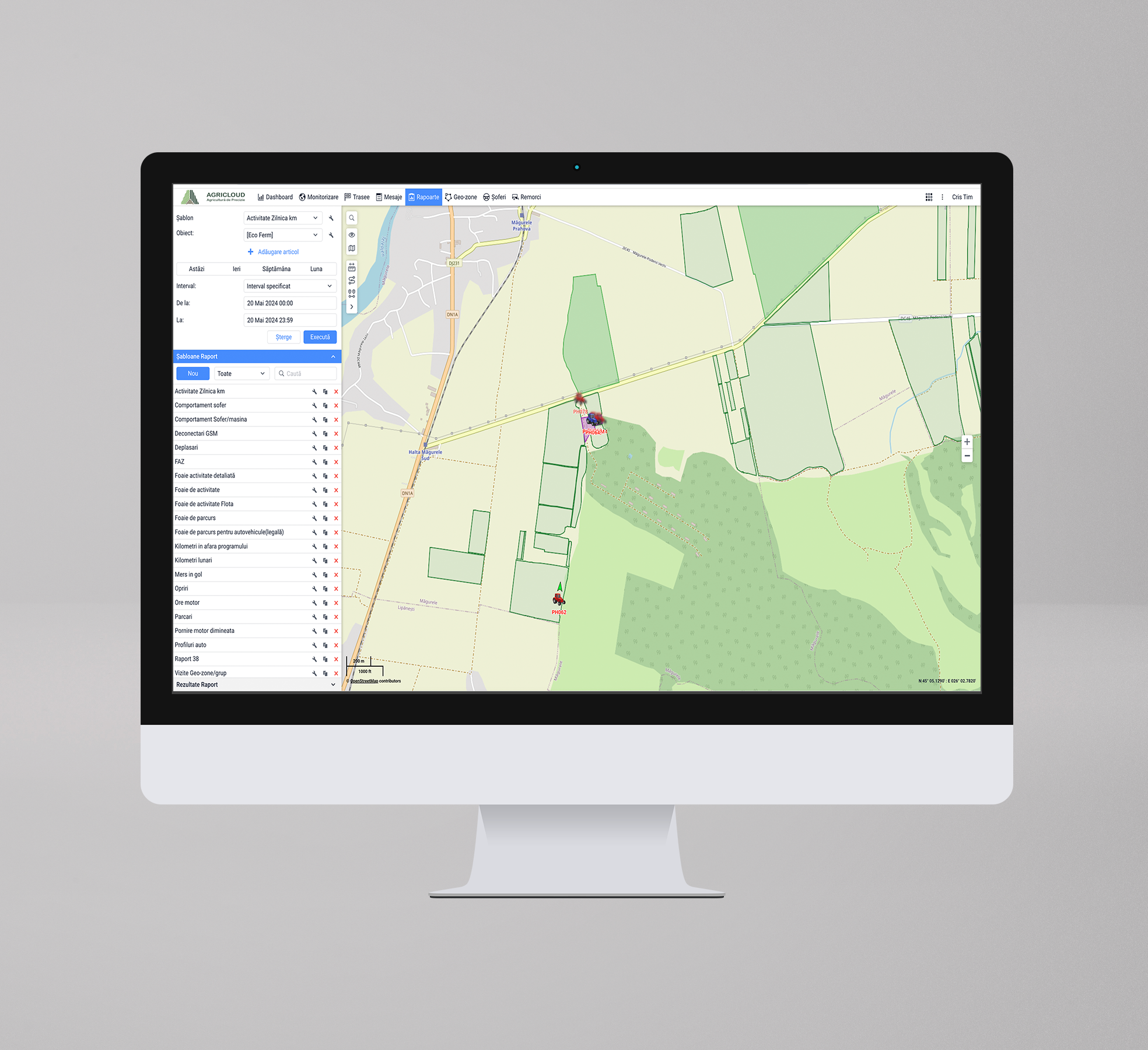
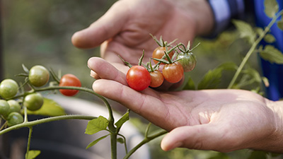
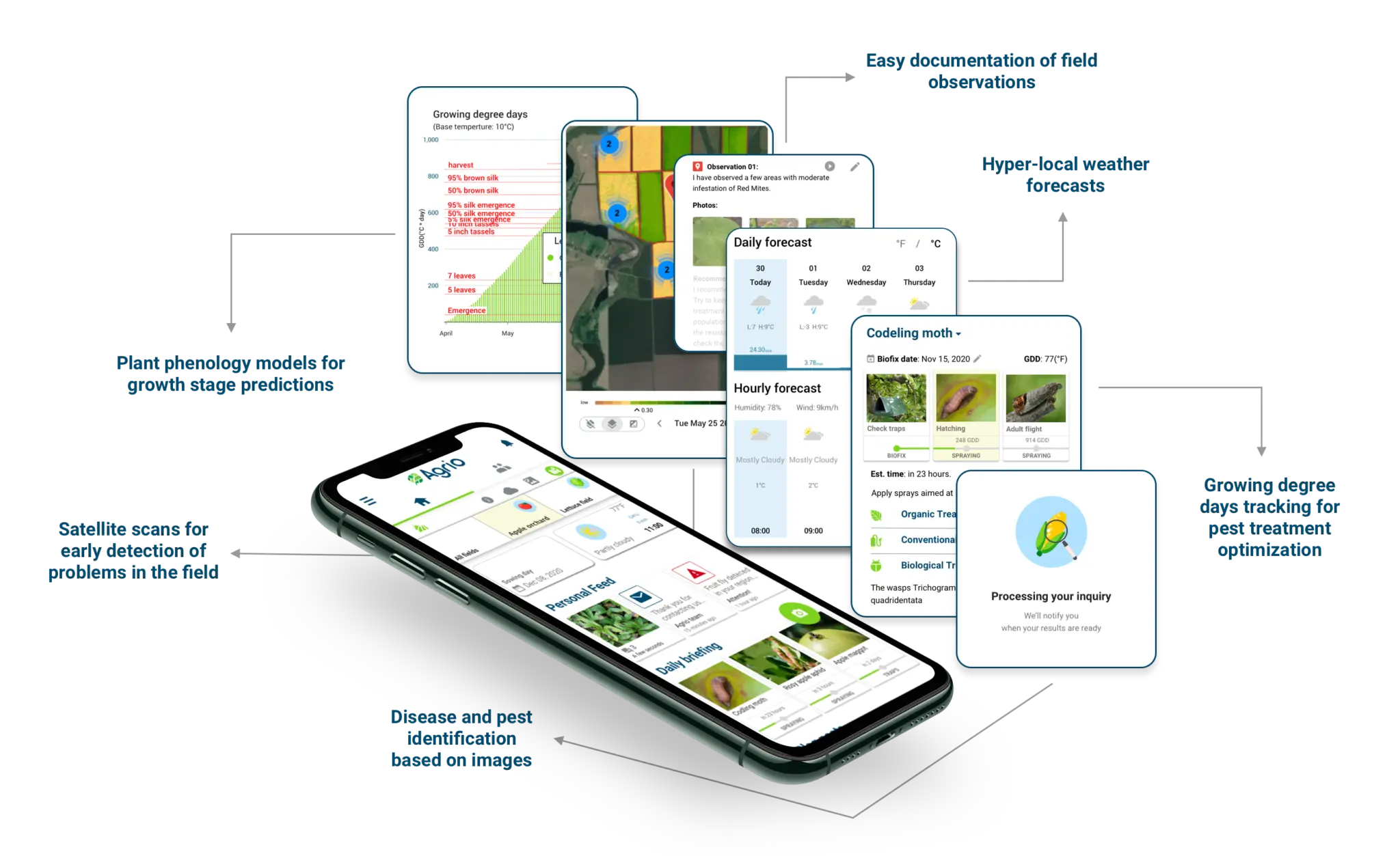
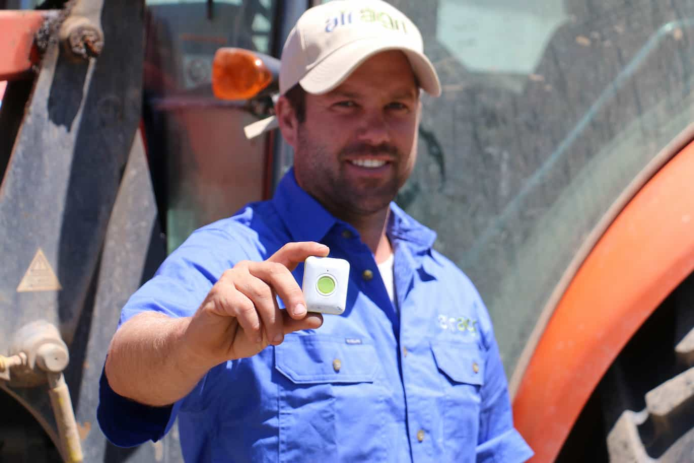
AgriCloud monitors agricultural crops, vineyards, orchards, and livestock farms using IoT technology.
AgriCloud Platform
AgriCloud
0
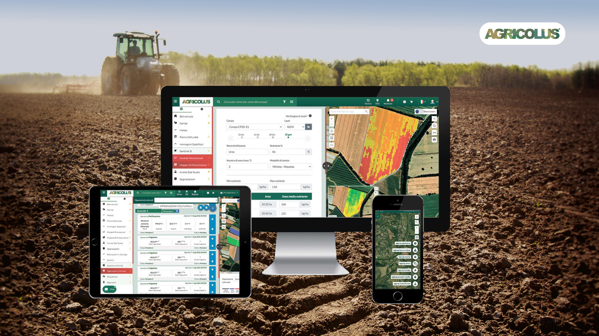
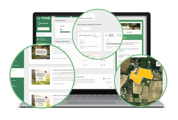
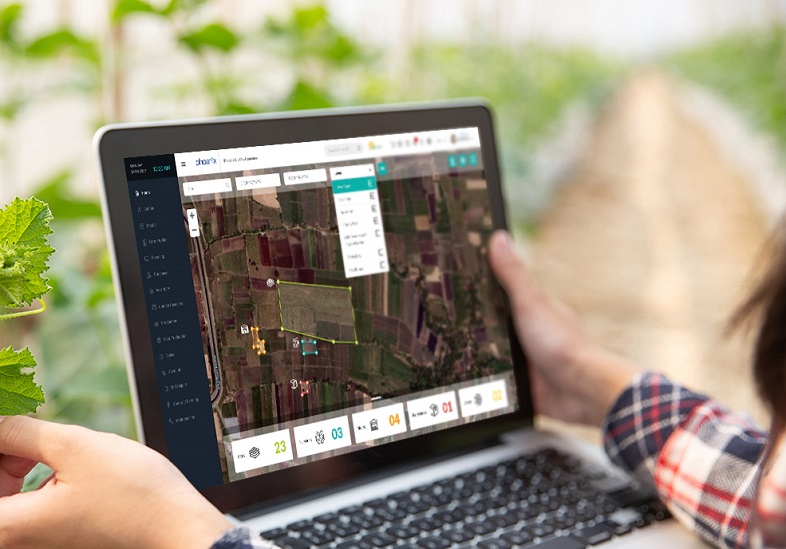
The complete platform to manage your farm efficiently with innovative technologies.

Agricolus Plus
Agricolus s.r.l.
0

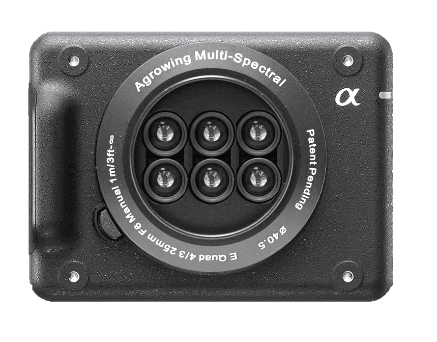
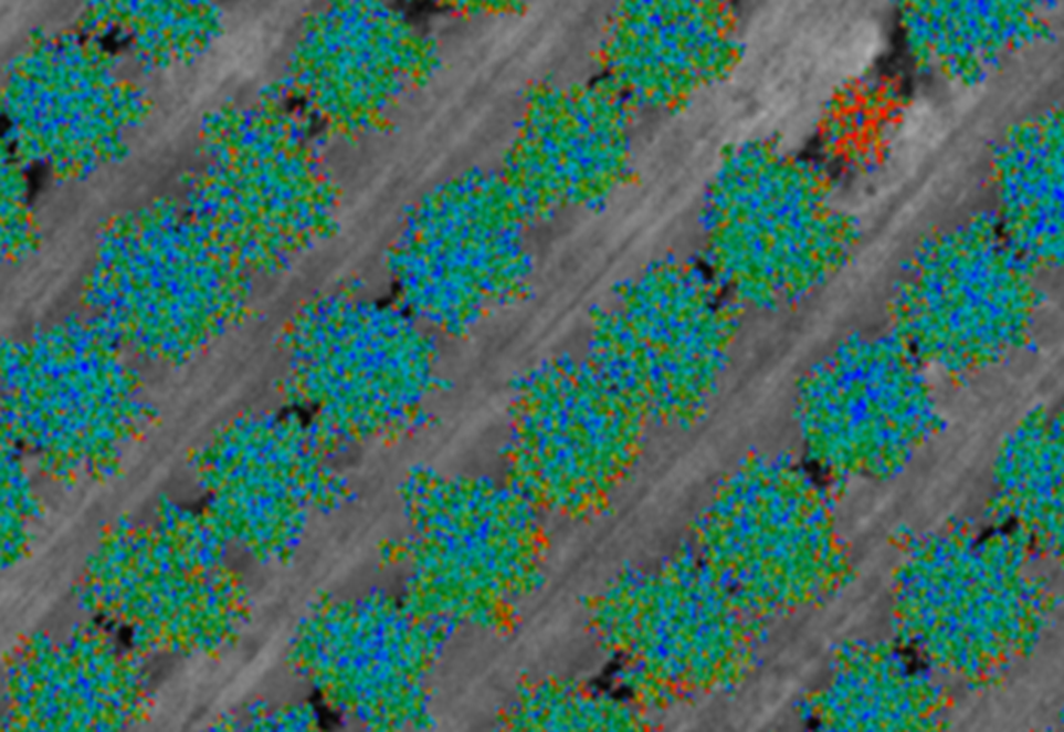
AI-enabling multispectral technologies
Agrowing Multi-spectral Cameras
Agrowing Ltd.
0

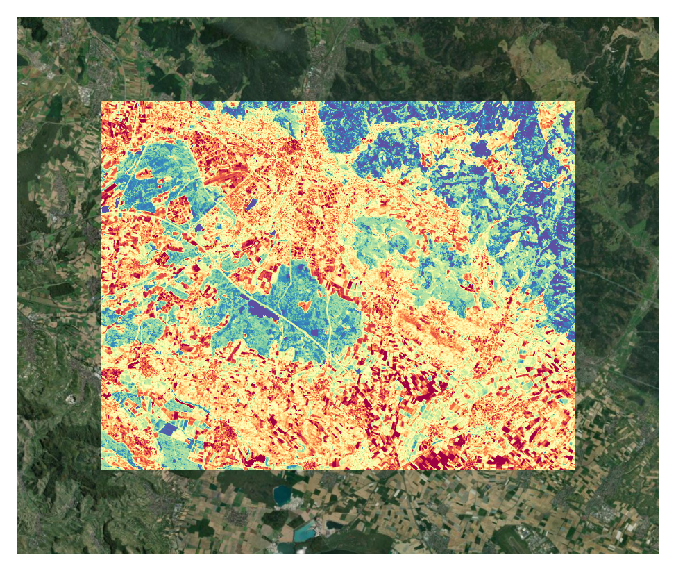
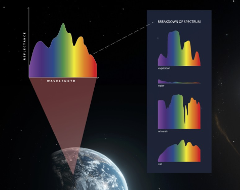
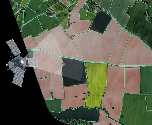
Measuring water, temperature & carbon from space for better resource accountability.

constellr - LST
Constellr GmbH
0
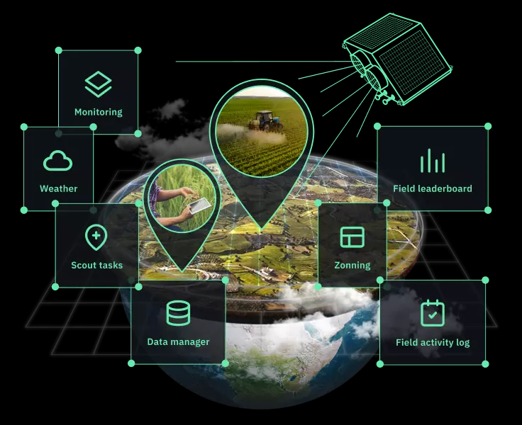
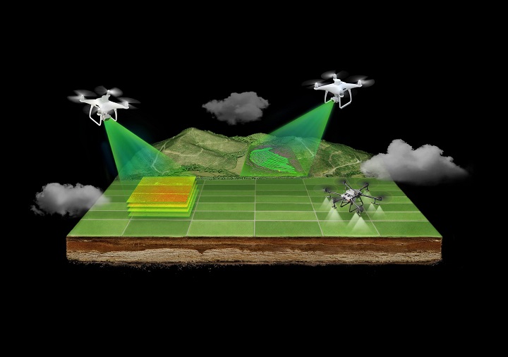
Empowering agricultural businesses with remote farm monitoring
Crop Monitoring
EOS Data Analytics Inc
0
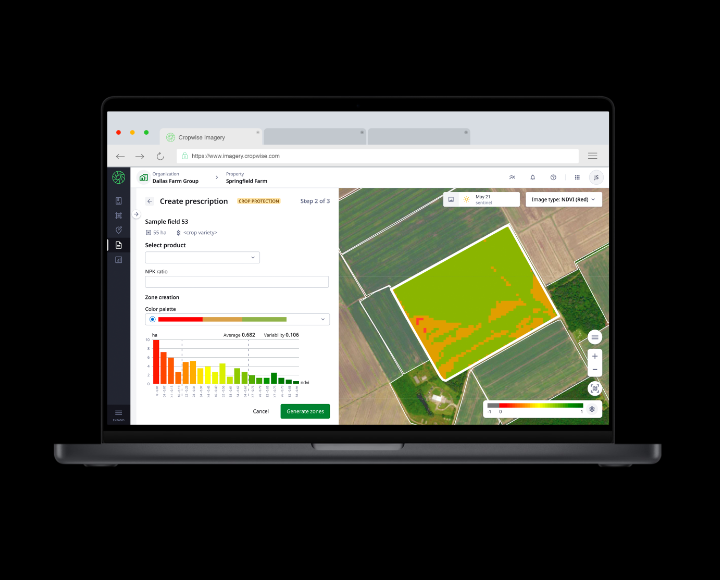
A bird’s eye view of the farm
Cropwise IMAGERY
Syngenta
0

Digital Vegetation Signature (DVS) technology can distinguish any two plants from one another and generate rapid, unique digital classifications based on spectral, thermal, and hyper-spatial characteristics.

Digital Vegetation Signature
LandScan LLC
0
The DJI agriculture drone AGRAS T40 is equipped with the revolutionary Coaxial Twin Rotor design, enabling it to carry a spray load of 40 kg and a spread load of 50 kg (70 L).

DJI AGRAS T40
DJI
0
EarthTones is Esper’s flagship product aiming to deliver real time site specific hyperspectral imagery data to support industry leaders.

EarthTones
Esper Satellite Imagery
0
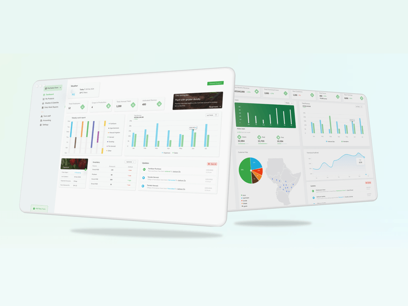

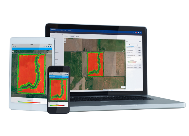
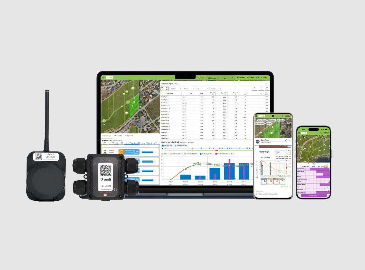
Farmer Pro is Trimble’s most powerful online and mobile farm management software.

Farmer Pro
Trimble Inc.
0

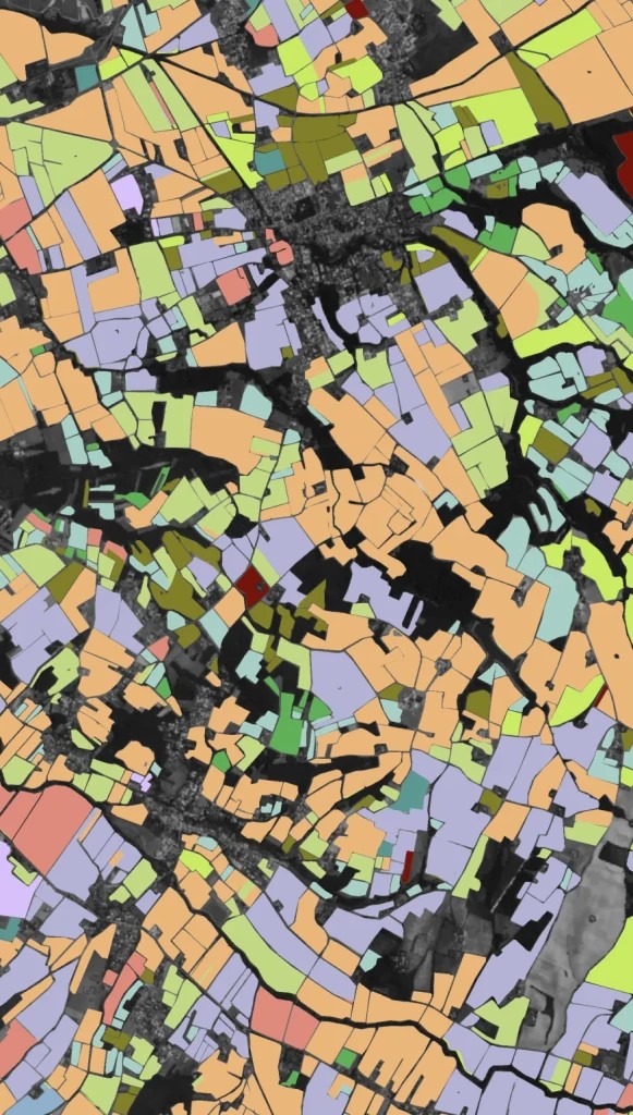
Automatic Field Boundary Detection Using Neural Networks
Field Boundary Detection
EOS Data Analytics Inc
0


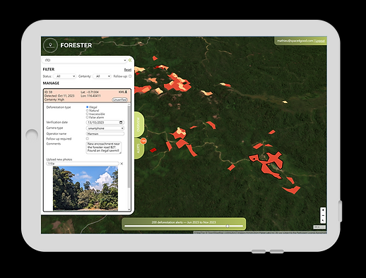
Space4Good FORESTER helps map, detect and predict forest events using remote sensing and AI.

FORESTER
Space4Good B.V.
0
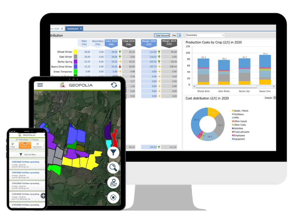
Geofolia
Landmark Systems Limited
0
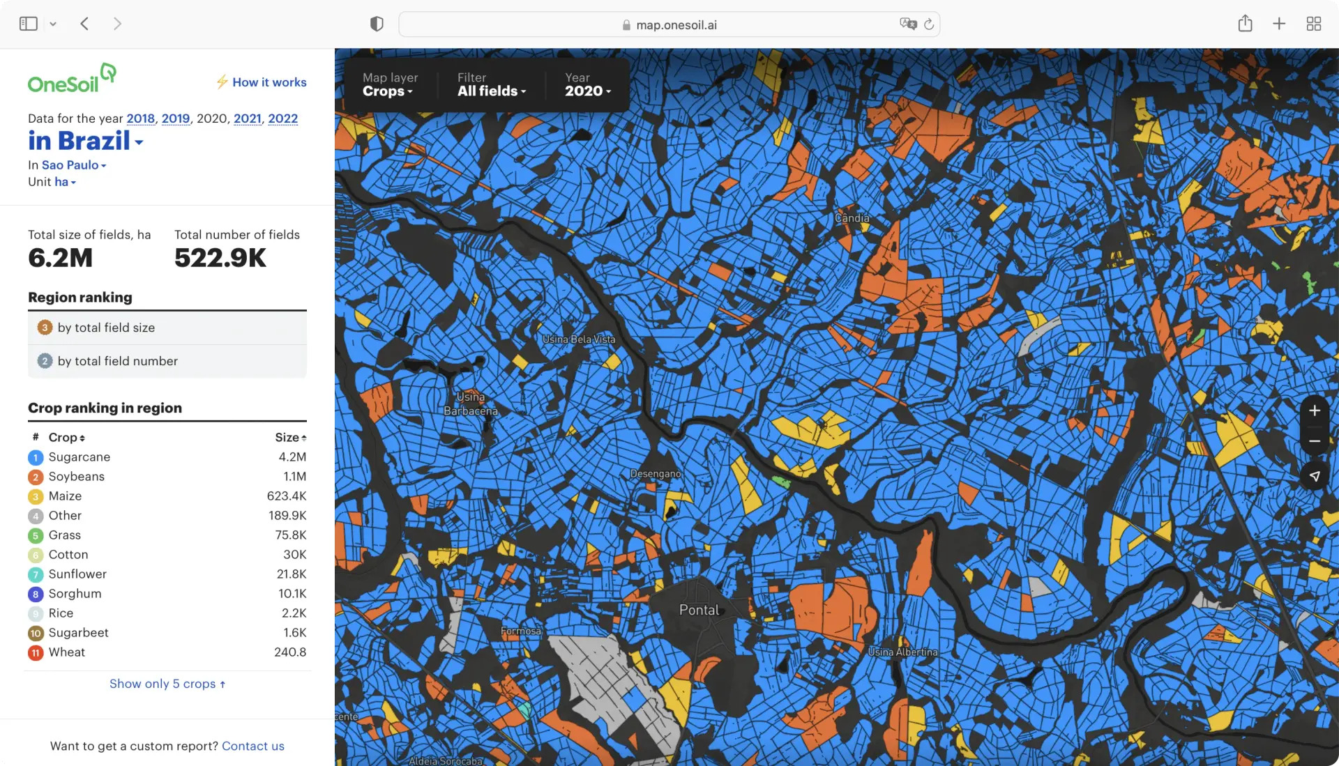
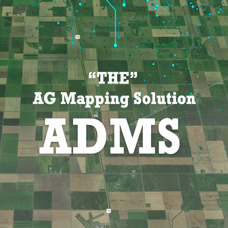
Get Agricultural Data on Any Region

OneSoil Global Analytics
OneSoil AG
0
SarAgri system enables monitoring crop growth, crop extent, crop height and harvest forecast.
SarAgri
SarVision B.V.
0
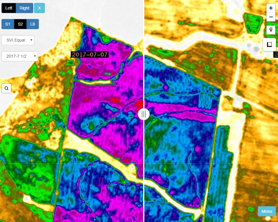
Satamap Global is web based platform for viewing and analysing satellite imagery available anywhere in the world.
Satamap Global
PCT Agcloud Pty Ltd
0
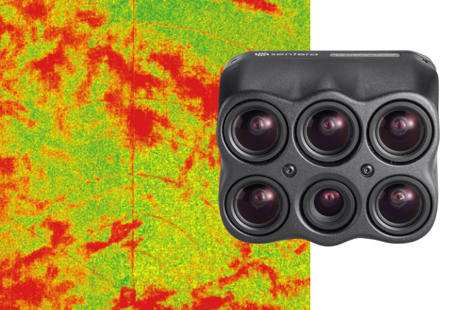
Science-grade Multispectral Imagery
Sentera 6X Sensor
Sentera
0
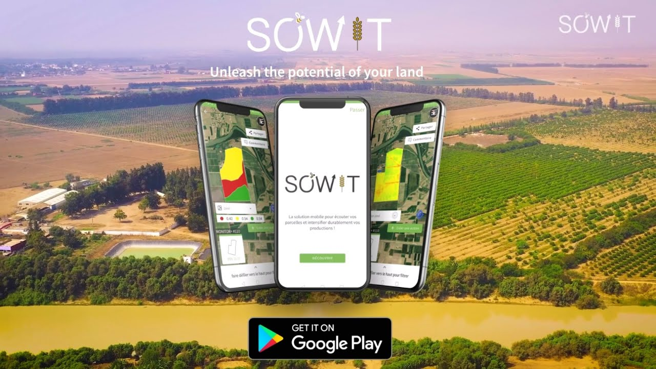
Powering informed decisions across the African ag value chain. Unleash the potential of your land

SOWIT: gestion des parcelles
SOWIT
0