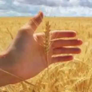
GrainDSS is the solution for cereal farms that want to effectively monitor their fields and take tailored action according to barley and wheat’s needs.
Grain farmers are provided with forecast and prescription tools to apply the right amount of inputs at the right time, only where they are really needed, in order to increase both yield and quality of winter cereals.
GrainDSS supports the decisions of farmers growing barley and wheat, by integrating data from forecast models, crop scouting and satellite imagery.
Why choose GrainDSS:
- Increase yield and quality of barley and wheat
- Reduce management cost
- Prevent the onset of Fusarium wilt
- Monitor crops health, even remotely
Features
- FIELD MAPPING
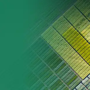
Geolocate the field on the map and draw it, features will be immediately hooked. You can enable the cadastral map and enter sheet and parcel information. - SATELLITE IMAGERY
Consult Sentinel-2 satellite images of the field with vigor, water stress and chlorophyll indices, provided every 5 days (in the absence of cloud cover) at a spatial resolution of 10 meters. - CROP OPERATIONS
Register where, how and when crop operations such as seeding, treatments and fertilization have been carried out. You can also access phytosanitary products database. - PRODUCTION LOTS
Create and assign to each crop its own production lot to improve traceability of operations. A QR code is also generated that allows you to access and share the dedicated web page where you can consult all the information on the product. - PRESCRIPTION MAPS
Choose the most suitable vegetation index to draw up the prescription map and carry out a variable rate fertilization. - SUSTAINABILITY
Create and assign to each crop its own production lot to improve traceability of operations. A QR code is also generated that allows you to access and share the dedicated web page where you can consult all the information on the product. - PHENOLOGY FORECAST MODEL
Prediction of phenology to assess field needs in each development stage. - IRRIGATION FORECAST MODEL
Evaluation of water requirements to carry out irrigation when necessary with the right amount of water. - FERTILIZATION FORECAST MODEL
Calculation of the total nitrogen, phosphorus and potassium needs (Kg/ha) required by barley and wheat in order to obtain suggestions on the doses of fertilizer to be applied. - DISEASES MODEL
Prediction of Fusarium, Septoria Sacc., Puccinia Striiformis development to estimate the probability of daily spread of the fungus and take timely action. - WEATHER FORECAST
Consult professional weather forecasts up to 7 days updated every hour: temperature, humidity, wind speed, rainfall. - CROP SCOUTING
Geolocate and register into the platform the field activities with App mobile: crop operations, soil analysis, crop damages, phenology, pests and diseases, traps and catches. - TASK MANAGEMENT
Create and assign tasks to be done in the farms to your collaborator in real time. - WEATHER STATIONS
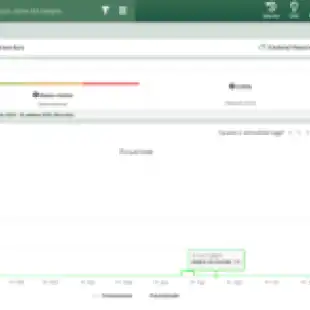
Virtual weather station included; physical weather stations and sensors can be purchased or integrated, if already present in the company. - DECISION SUPPORT SYSTEM
It provides information on the interventions to be carried out on the basis of the data collected. - MACHINERY
Register your agricultural machinery, any problems and maintenance carried out. You can also connect them to Agricolus by using Agrirouter.
Gallery
Reviews
Sign-in to leave a review for the solution.
0.0/5
0 Reviews
Questions
Sign-in to leave ask a question about the solution.