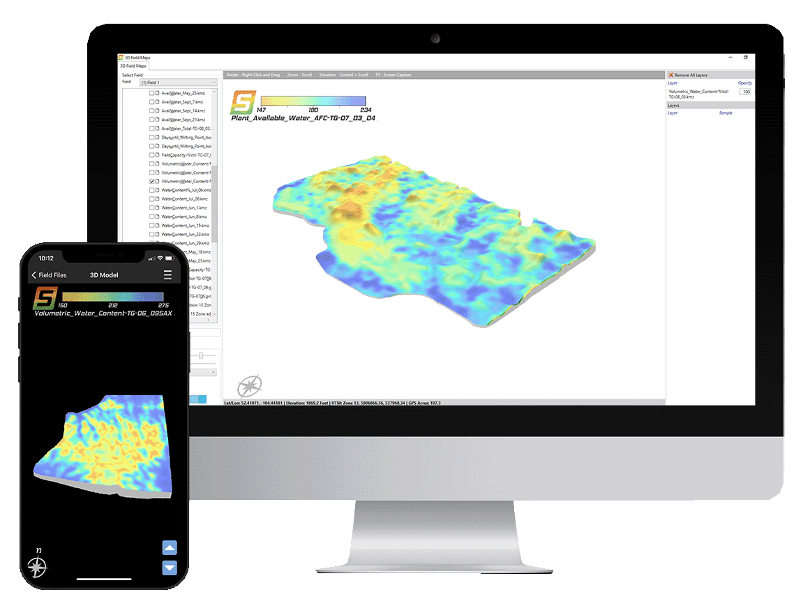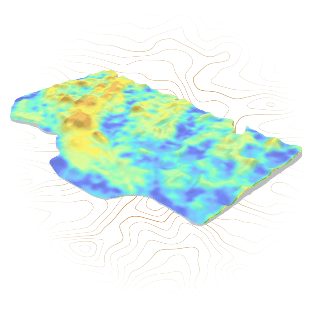
Using SWAT MAPS as the base layer, SWAT WATER takes detailed soil moisture sensor data, to create a soil water map. SWAT WATER calculates your field’s moisture holding capacity, plant available water, and days to stress by zone. This information can be used for fertilizer top-dress applications, fungicides, growth regulators, and variable rate irrigation.
Here's How It Works
- Plant Available Water
Plant Available Water maps show the amount of water available to the crop at any specific time during the growing season. - Surface Hydrology
Surface Hydrology maps show how water moves throughout a field and predicts the amount of rain that could cause the crop to flood in specific zones. - Days to Stress Point
Days to Stress Point tells you the amount of time until the crop will be stressed due to a lack of moisture.
Benefits
- Top-Dress Applications
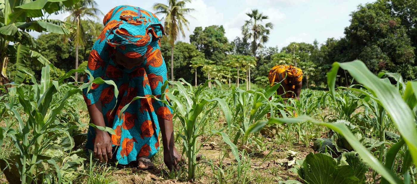
Nitrogen top-dress applications can be guided by how much available water is in the soil profile in each zone, to better match your crop uptake requirements in real-time in-season. This is the most precise way of minimizing over- or under-application of nitrogen and can help manage risk in very wet or dry growing seasons. - Fungicide Applications
Your fungicide application decisions can be made easier by knowing the soil moisture data that drives canopy humidity levels. Days to stress point may show a fungicide is not worthwhile in parts of your field because it’s close to wilting point. - Variable-Rate Irrigation
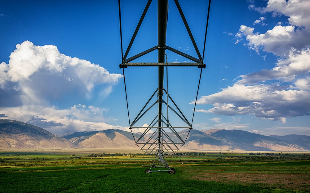
Confidently make your irrigation schedules by knowing that you can minimize stress of over-watering or under-watering in certain locations. If you have variable rate irrigation capability, SWAT WATER will increase your accuracy by being able to pinpoint proper amounts of water to specific zones in your field.
Gallery
Reviews
Sign-in to leave a review for the solution.
0.0/5
0 Reviews
Questions
Sign-in to leave ask a question about the solution.
