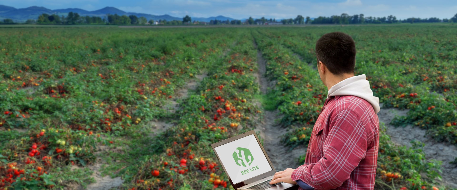
Crop Overview & Reporting In Minutes
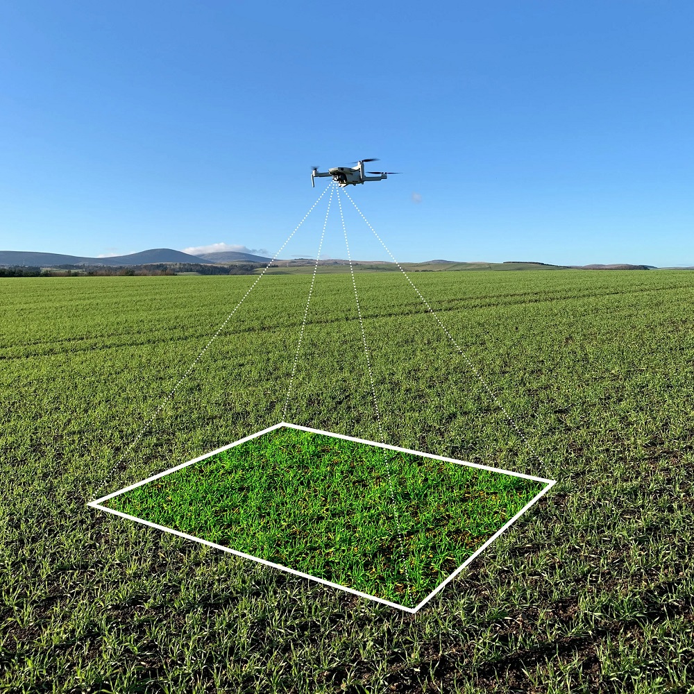
1. Field Overview
- Captured in a few minutes.
- Our app flies your drone.
- The whole flight is automatic
2. Close-Up Images
- Cover up to 4 ha per minute.
- Its 20x faster than walking.
- Capturing leaf-level detail
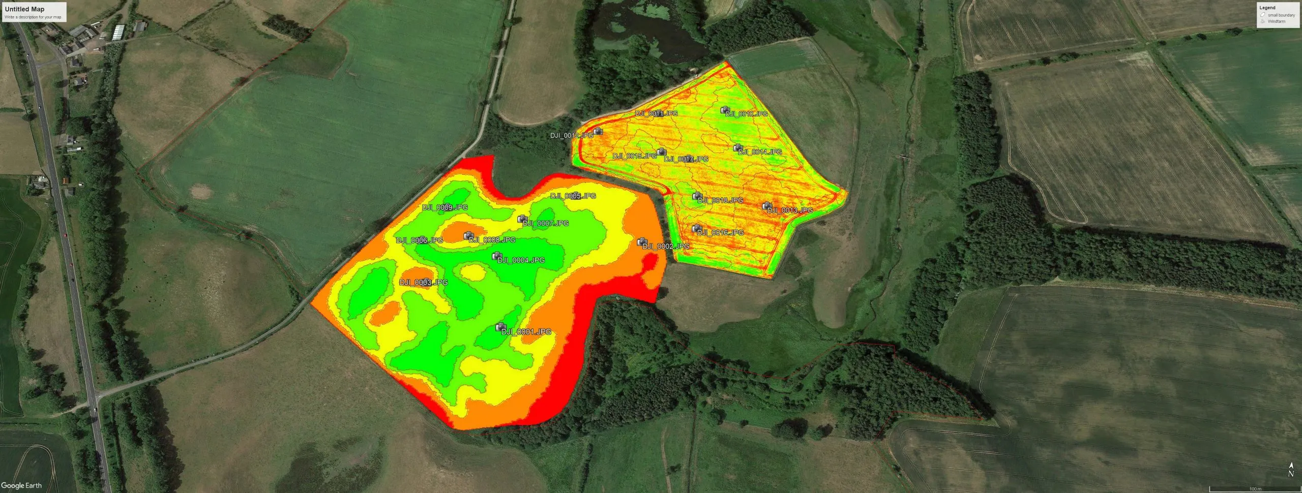
3. Crop Report
- Generated in minutes.
- See crop %, problems and progress.
- Immediately actionable, easy to share
Monitoring Your Crops
Here’s a few things Skippy can help with…
1. More Efficient Scouting
- Walk more crops, in less time
- Get more detail, and analysis reports
Skippy Scout automates drone flight and takes photographs of your crop to help you spot disease, pests and weeds. It is a faster way to walk your crop that offers high resolution, leaf level images for you and your agronomist to review.
2. Scout Field Maps
- Import any map, from anywhere
- Bring meaning to those maps
Use screenshots, saved images or anything you can photo! Skippy quickly imports and trims images to use as maps, and guide where you place scout points. Then scout to get close-up imagery and analysis of those areas.
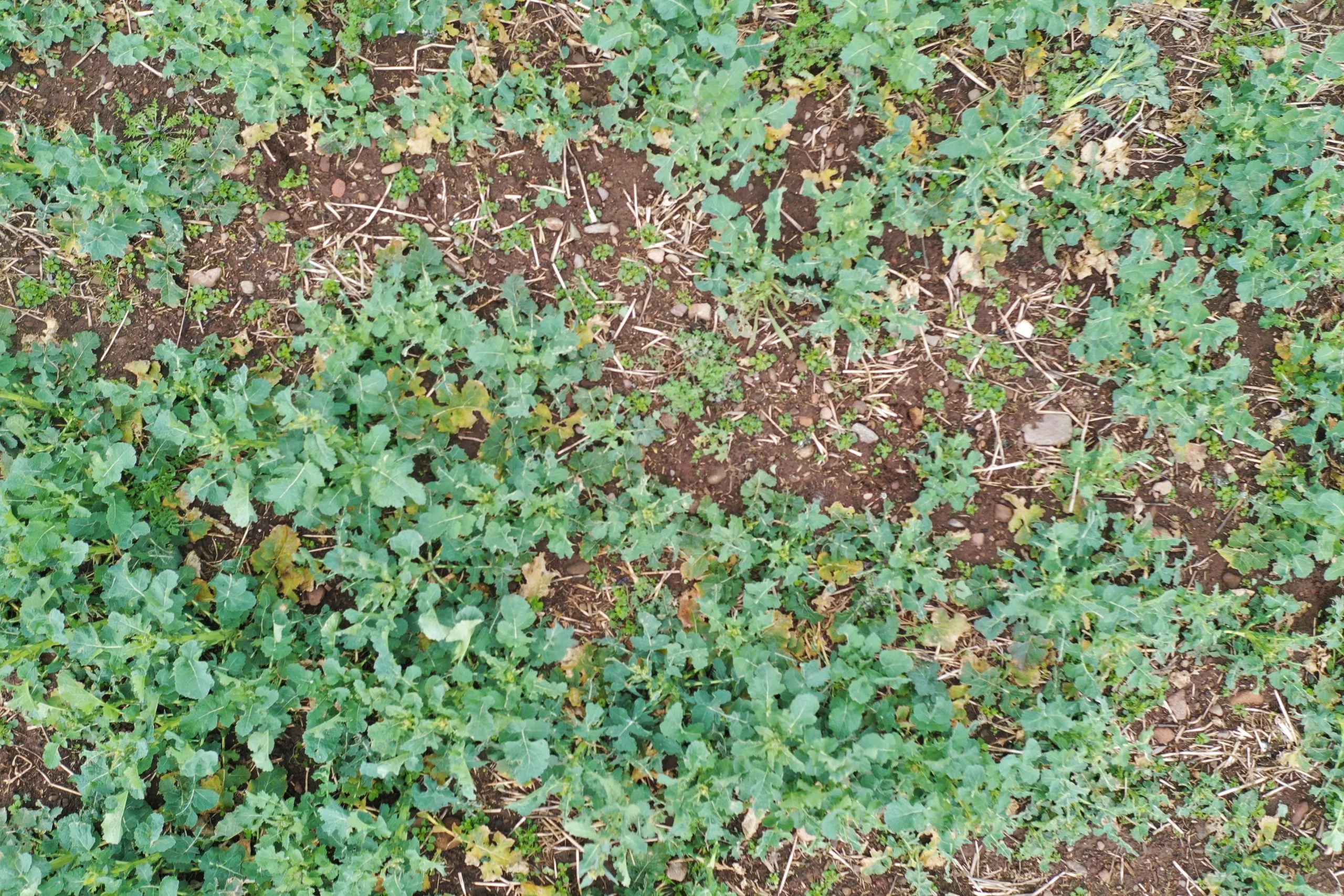
3. Identify Disease Earlier
- Find disease early, and fast
- Measure severity and share with others
Our image analysis system will flag unhealthy leaves so you can focus only where needed, and super resolution means its easy to spot early signs of rust or similar, then send images and reports to your agronomist to help diagnose.
4. Monitor Problem Areas
- Automatically return to points of interest
- Monitor progress with trend statistics
Set points of interest in your field that your drone will image every time you’re in that field, keep an eye on problem areas and make sure sprays have been effective.
5. Enhance Variable Rates
- Accurate, crop only GAI
- Ground truth satellite data, fast
Use a satellite GAI/Biomass map to generate zones, then scout them with Skippy to optimise the measurements and feed them back into your map ready for application.
6. Accurate Traceability
- Record when, where, and why
- Geo-tagged and time-stamped
All images captured are tagged with accurate location and time taken data, so you have a record of when and where there was a problem, and justification for the action taken.
Gallery
Reviews
Sign-in to leave a review for the solution.
0.0/5
0 Reviews
Questions
Sign-in to leave ask a question about the solution.