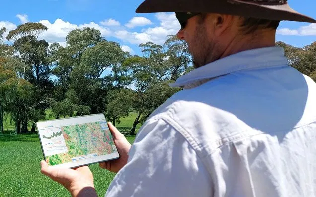
Verify your farm boundary in a few minutes;
- Analyse 30 years of satellite data;
- Benchmark ground cover and woody vegetation change;
- Generate a forest carbon report for your farm
Ground Cover and Woody Vegetation Report and Forest Carbon Reports
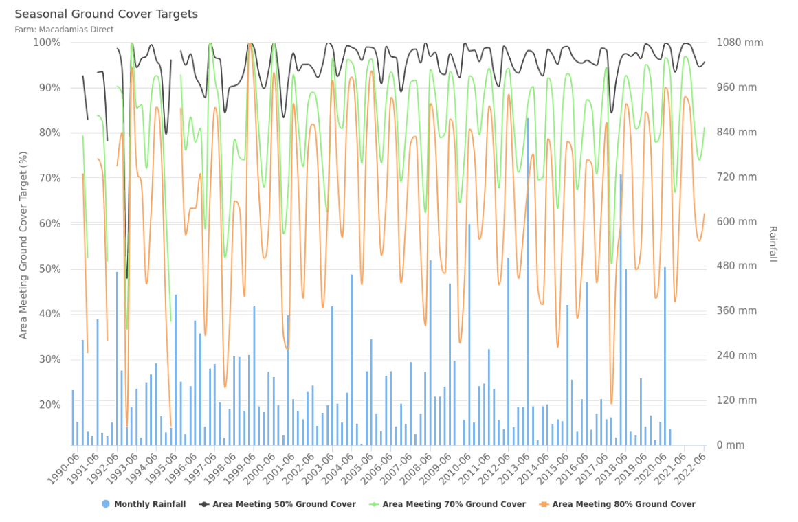
- Analyse trends in rainfall, seasonal ground cover and woody vegetation and forest carbon.
- Benchmark your farm in relation to neighbors and the region, consistent with Australian Beef Sustainability Framework (ABSF) Balance of Tree and Grass Cover metrics.
- Assess trends in land condition that may guide decisions on long term sustainable carrying capacity.
- Support property valuations based on objective information on land condition and productivity.
- Generate a “baseline report” for a carbon, biodiversity or other ecosystem service projects.
- Demonstrate the impact of management on long term trends in ground cover and tree cover.
- Generate a rapid assessment of potential carbon stocks in relation to forests on the farm using readily available data. The report uses FLINTpro which replicates the Australian Governments FullCAM model using Australian Government data.
Gallery
Reviews
Sign-in to leave a review for the solution.
0.0/5
0 Reviews
Questions
Sign-in to leave ask a question about the solution.