What is it?
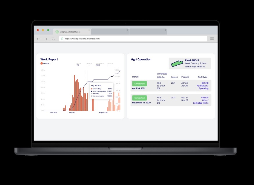
Cropwise OPERATIONS by Syngenta is a comprehensive satellite field management system designed to facilitate the remote monitoring of agricultural land, track field activities, and identify problem areas.
Managing expansive agricultural companies requires constant oversight of diverse fields, but physically scouting every acre is impossible. Relying on disconnected reports and delayed weather forecasts leads to inefficient resource allocation and missed opportunities to mitigate crop stress. Agronomists need immediate access to field status updates and vegetation levels to direct their interventions effectively. Cropwise OPERATIONS provides an all-in-one digital farming solution to address this. It delivers real-time updates on crop conditions using satellite imagery, determines precise vegetation levels, and supplies accurate weather forecasts. The application functions offline, allowing agronomists to sync data and field reports seamlessly.
Why use it?
Utilising a centralized remote monitoring system allows agricultural managers and agronomists to maintain total, real-time control over all their fields from a single dashboard. By identifying specific problem areas and tracking vegetation levels via satellite, operations can deploy targeted interventions swiftly, mitigating risks before they cause significant yield loss. The platform's ability to operate offline ensures that field workers can create and access detailed status reports, complete with photos and notes, even in areas without internet connectivity. Ultimately, this comprehensive databank streamlines agricultural workflows and supports highly informed agronomic decision-making.
Key Features
Monitor Fields Remotely
Provides a comprehensive satellite management system to facilitate the continuous remote monitoring of expansive agricultural land.Track Vegetation Levels
Utilises satellite imagery to deliver real-time updates on current crop conditions and accurately determine specific vegetation levels.Identify Problem Areas
Analyses field data and executes precise zoning to immediately identify problem areas requiring targeted agronomic intervention.Deliver Weather Forecasts
Supplies accurate, highly precise weather forecasts directly to the dashboard to support the strategic planning of field activities.Operate Functionally Offline
Allows agronomists to access information, create detailed field reports with photos, and work seamlessly without internet access.
Who is it for?
This field management system is designed for agronomists, commercial farm managers, and large agricultural companies operating globally.
Have you used Cropwise OPERATIONS?
Your experience helps others make informed choices. Share how it performed in identifying problem areas or its reliability when working offline in the field.
Gallery

Reviews
Questions
Similar solutions